
Garfield County
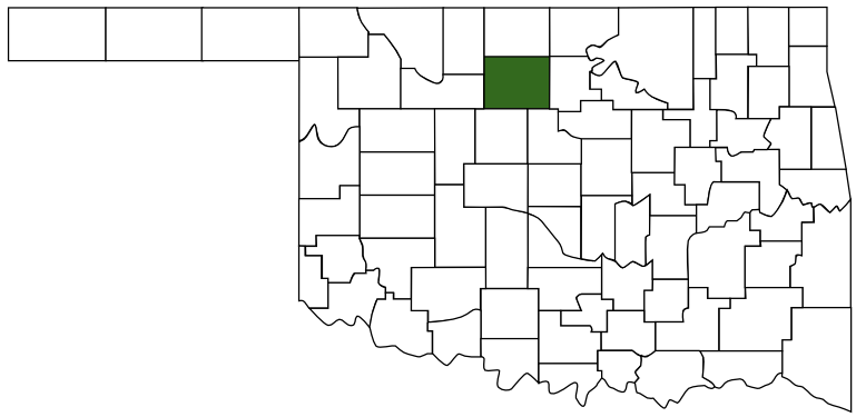
Garfield County, Oklahoma
Garfield County was named after President James A. Garfield.
- Established: 1893 [1]
- County Seat: Enid, Oklahoma 73701
- Area: 1,058 mi2 (2,740 km2)
- Population: 62,846 [2]
- Region:
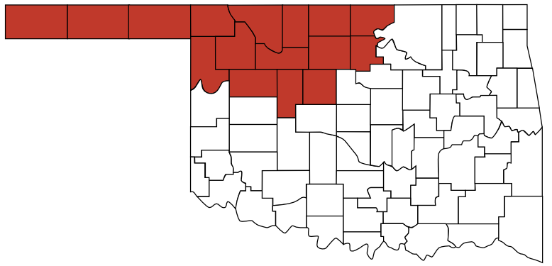 Red Carpet Country
 - Weather: NWS Norman
- Info: Wikipedia
- History: Oklahoma Historical Society

- County information from Wikipedia.
- Population from U.S. Census Bureau, 2020.