
The Missouri Compromise
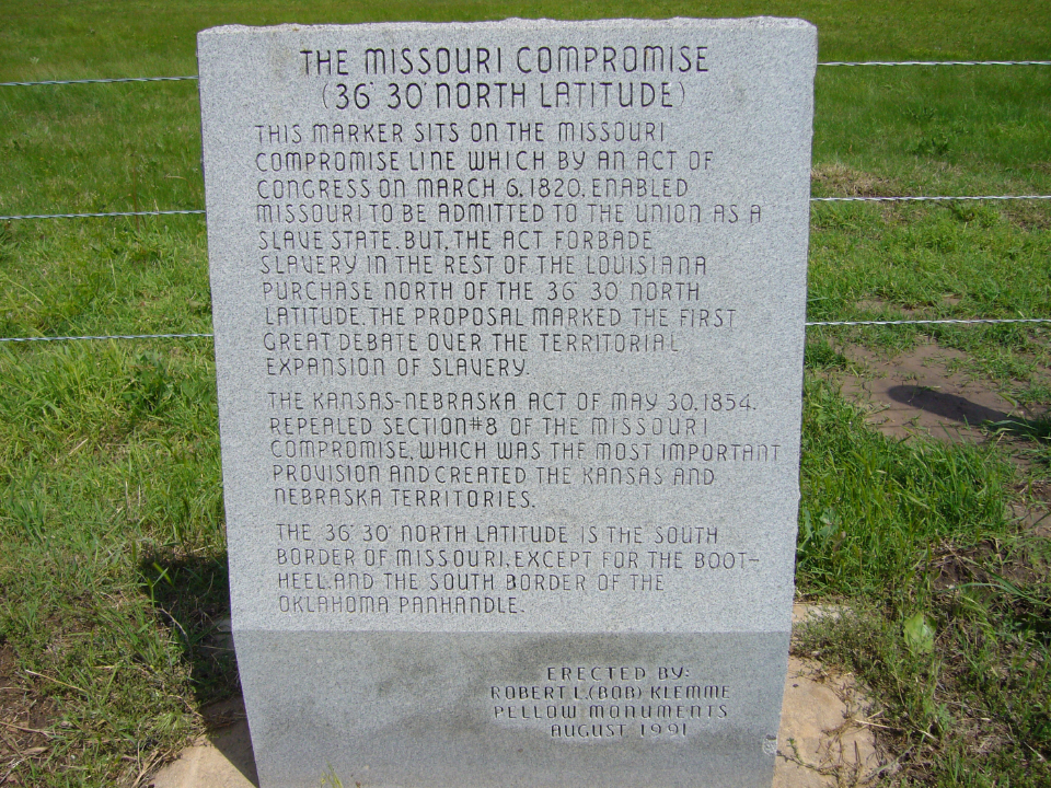
The Missouri Compromise
(36° 30' NORTH LATITUDE)
This marker sits on the Missouri Compromise line which by an Act of Congress on March 6, 1820, enabled Missouri to be admitted to the Union as a Slave State. But, the Act forbade slavery in the rest of the Louisiana purchase North of the 36° 30" North Latitude. The proposal marked the first great debate over the Territorial Expansion of slavery.
The Kansas-Nebraska Act of May 30, 1854, repealed section #8 of the Missouri Compromise , which was the most important provision and created the Kansas and Nebraska Territories.
The 36° 30' North Latitude is the south border of Missouri, except for the Bootheel, and the south border of the Oklahoma Panhandle.
Location
Directions
2 miles North of Enid, OK on US 64
Regions
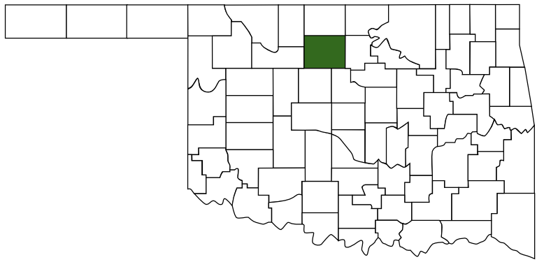 Garfield County
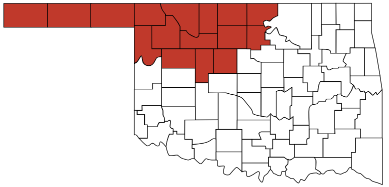 Red Carpet Country
 Oklahoma
Maps
- 36.49999271147791, -97.87255189386113
- OpenStreetMap
- Google Maps
- Bing Maps
- Apple Maps
- MapQuest
Pictures