Buffalo Springs
Buffalo Springs
Buffalo Springs
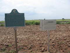
On the Old Chisholm Trail, 1/3 mi. west.
From this noted watering place came the name of "Bison," 1 mi. so., "Buffalo Springs" was the camp site of Pat Hennessey and his men just before the were massacred, 7 mi. so., July 4, 1874. Next day, a war band of Indians was stood off by ranchmen at the Springs. Crowds here made the Oklahoma "Run," April 22, 1889.
Location
Directions
On U.S. Highway 81, one and one-half miles
north of Bison, Garfield County.*
Regions
Maps
- 36.2175, -97.8883
- OpenStreetMap
- Google Maps
- Bing Maps
- Apple Maps
- MapQuest
Pictures
Notes
More Pictures:
Links: * Directions and information from Mark of Heritage, by Muriel H. Wright.
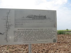
Buffalo Springs Trading Post and Ranch
One half mile due west of the location stood Buffalo Springs Trading Post, Ranch, and Stagecoach stand. This sketch of the ranch was made by Adolph Hunnius. A surveyor, in 1876. Buffalo Springs was a well - used stop for drovers and herds along this western trail variant. it was from this location that the ill - fated Hennessey Party departed on July 4, 1874. Headed south along the Ft. Sill - Arkansas City wagon road despite warning of Indian hostilities in the area. A few miles south, the Party was attacked and killed.
(Image courtesy of Kansas State Historical Society)
Links: * Directions and information from Mark of Heritage, by Muriel H. Wright.


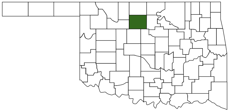 Garfield County
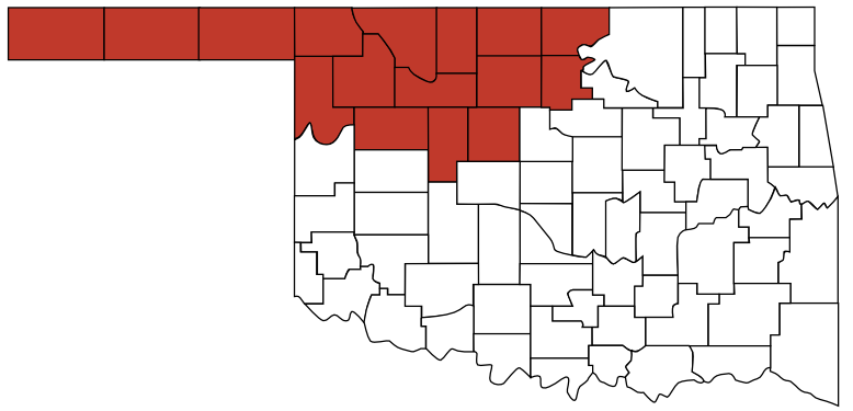 Red Carpet Country
 Oklahoma