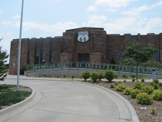
Chandler Armory / Route 66 Interpretive Center
Location
Directions
Junction of Mickey Clarkson Ave. (Route 66) and First St., Chandler, Oklahoma
Regions
Maps
- 35.709745, -96.876304
- OpenStreetMap
- Google Maps
- Bing Maps
- Apple Maps
- MapQuest
Pictures
Notes
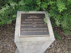
National Register of Historic Places
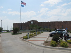
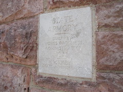
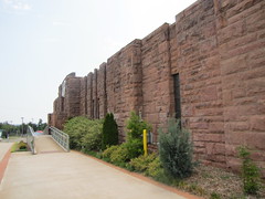
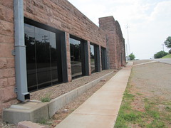
Chandler Armory (added 1991 - Building - #91000276) Also known as Chandler National Guard Armory Jct. of Mickey Clarkson Ave. and First St., ChandlerMore Pictures
- Historic Significance: Architecture/Engineering, Event
- Architect, builder, or engineer: Nolan,Bryan W.
- Architectural Style: Other
- Area of Significance: Architecture, Military, Economics
- Period of Significance: 1925-1949
- Owner: Local Gov't
- Historic Function: Defense
- Historic Sub-function: Arms Storage
- Current Function: Vacant/Not In Use
Google Maps Street View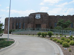
View Larger Map

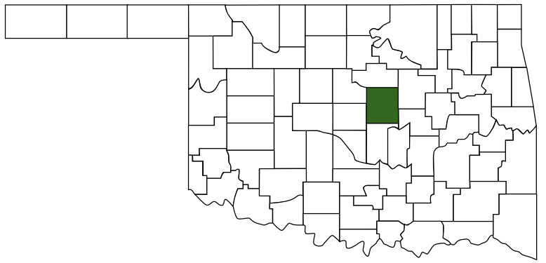 Lincoln County
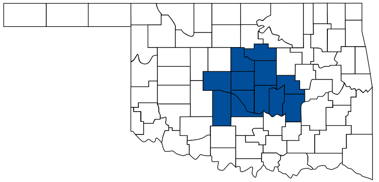 Frontier Country
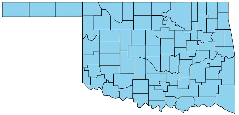 Oklahoma