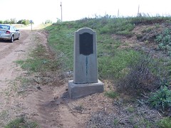
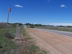
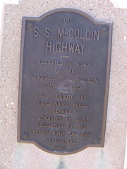
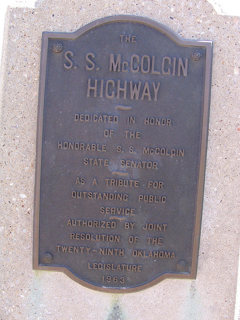
S. S. McColgin Highway
Location
Directions
South side of Roll, Oklahoma on west side of the U.S. 238.
Regions
Maps
- 35.779768, -99.71238
- OpenStreetMap
- Google Maps
- Bing Maps
- Apple Maps
- MapQuest
Pictures
Notes
Links:
- Oklahoma's Memorial Highways & Bridges
S. S. McColgin Highway, Roger Mills County, Between Roll and the Texas State Line on SH47, H. J. Res. 552; 69 O.S. 1981, Sec. 1608; Commission Item 156, 7-1-63

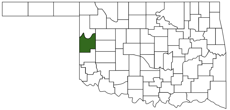 Roger Mills County
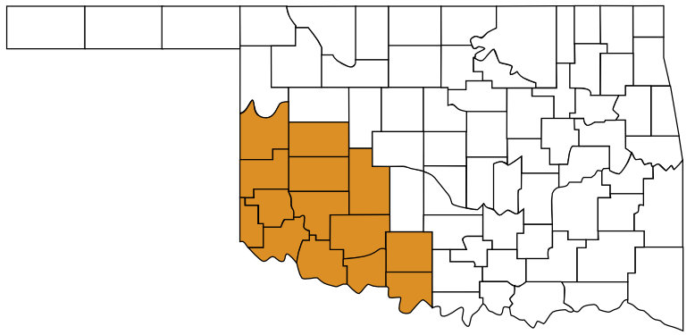 Great Plains Country
 Oklahoma