Military Road - Choctaw Trail of Tears
Military Road - Choctaw Trail of Tears
Cut from Washington, Ark., to Fort Towson in 1831 for removal of Choctaws from Miss., became known is Choctaw Trail of Tears after thousands of suffering Indians used it to reach new lands. Road served as major east-west artery for Choctaw Nation until early 1900s. Imported early Choctaw settlements on road were Harris Mill, Eagletown, Lukfata. Wheelock and Clear Creek. Segments of road still identifiable still visible.
Oklahoma historical Society 203 -- 1995
Oklahoma historical Society 203 -- 1995
Location
Directions
Marker located on US Highway 70 in Broken Bow, Oklahoma
Regions
Maps
- 34.02632584735767, -94.73738193511963
- OpenStreetMap
- Google Maps
- Bing Maps
- Apple Maps
- MapQuest
Pictures

Notes
Links:
- Waymarking.com - Military Road - Choctaw Trail of Tears
- lasr.net - MILITARY ROAD - Tells of road cut in 1825 from Arkansas to Fort Towson, which became the Choctaw Trail of Tears. (Marker located on US Highway 70 in Broken Bow)

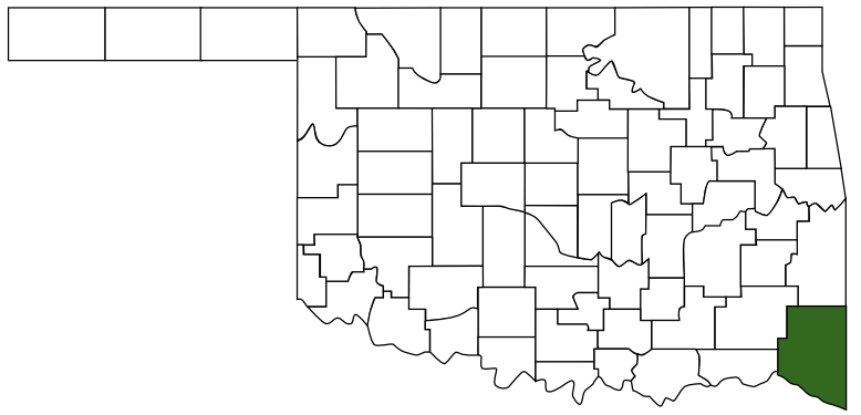
 McCurtain County
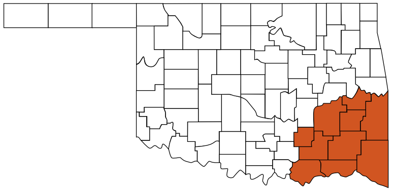
 Choctaw Country
 Oklahoma