Rock Creek Bridge
Location
Directions
Junction of U.S. 66 and W. Ozark Trail, Sapulpa, OK
Regions
Maps
- 35.993646, -96.136173
- OpenStreetMap
- Google Maps
- Bing Maps
- Apple Maps
- MapQuest
Pictures
Notes
More Pictures:
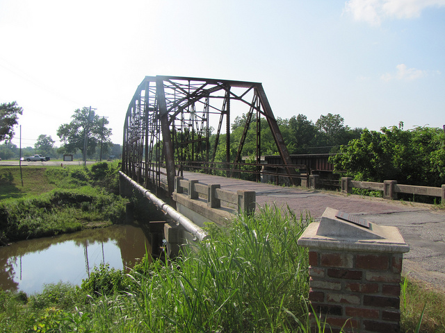
Bridge No. 18 at Rock Creek (added 1995 - Structure - #95000031)
Also known as Rock Creek Bridge
Jct. of US 66 and Rock Cr., Sapulpa
National Register of Historic Places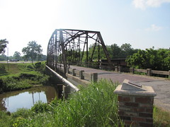
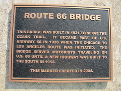

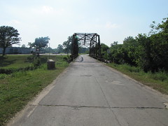
Bridge No. 18 at Rock Creek (added 1995 - Structure - #95000031)
Also known as Rock Creek Bridge
Jct. of US 66 and Rock Cr., Sapulpa
- Historic Significance: Event, Architecture/Engineering
- Architect, builder, or engineer: Concrete and Steel Construction Co.
- Architectural Style: Other
- Area of Significance: Engineering, Transportation
- Period of Significance: 1925-1949
- Owner: Local Gov't
- Historic Function: Transportation
- Historic Sub-function: Road-Related
- Current Function: Transportation
- Current Sub-function: Road-Related
- Sapulpa Herald: Who ripped off a piece of history?
- Route 66 News: Marker near Rock Creek Bridge stolen
- National Register of Historic Places : Creek County : Bridge No. 18 at Rock Creek
- Waymarking.com: Rock Creek Bridge - Ozark Trail - Sapulpa, OK
* GPS from other source.
View Larger Map

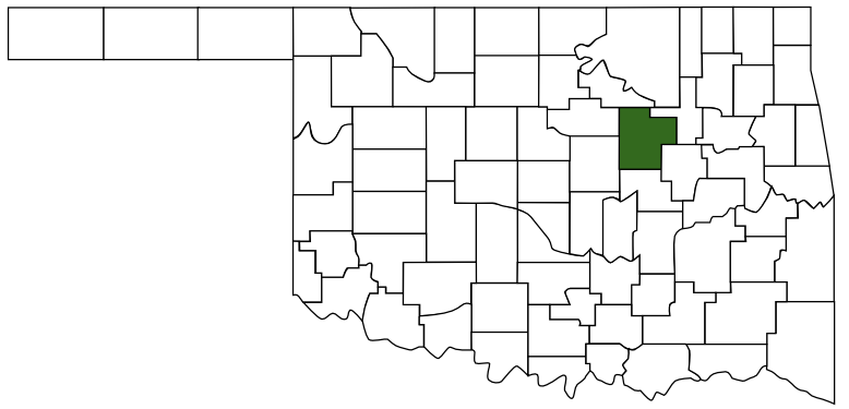 Creek County
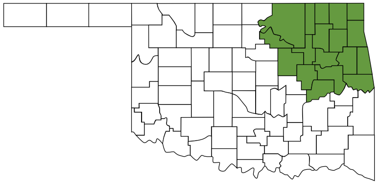 Green Country
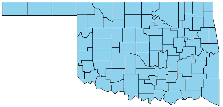 Oklahoma