
Initial Point

Initial Point
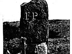
Initial point is the name given to a 54 inch stone monument that marks the spot where all land in Oklahoma, except for the panhandle, Kansas, and Nebraska were surveyed to open lands to white settlement. This point made it possible to number townships east and west of the Indian Meridian, and to number ranges north and south from the Base Line. This point is still used, either directly or indirectly, to describe real estate transactions in the state. Listed in the national register 10/6/1970.*
Location
Directions
It is 7.4 miles west of Davis OK and 1 mile south of Hwy. 7. (Location is on private property.)
Regions
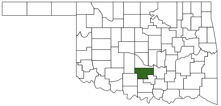 Garvin County
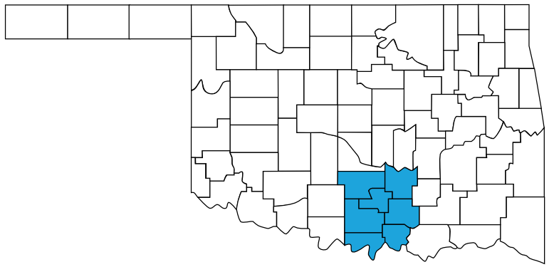 Chickasaw Country
 Oklahoma
Maps
- 34.506667, -97.247222
- OpenStreetMap
- Google Maps
- Bing Maps
- Apple Maps
- MapQuest
Pictures
Notes
Note: This location is on private property. Also location has also been mentioned as listed in both Garvin and Murray Counties. This monument is basicly on the county line between the two. We've listed it in Garvin County since that is where the National Register of Historic Places lists it.
* Description and some Images from National Register Properties in Oklahoma
National Register of Historic Places
Initial Point ** (added 1970 - Object - #70000533)
About 7.5 mi. W of Davis on Garvin, Davis
- Historic Significance: Event
- Area of Significance: Engineering
- Period of Significance: 1850-1874, 1875-1899
- Owner: Private
- Historic Function: Landscape, Recreation And Culture
- Historic Sub-function: Monument/Marker, Natural Feature
- Current Function: Landscape, Recreation And Culture
- Current Sub-function: Monument/Marker, Natural Feature
More Pictures:
Image Credit: The Oklahoma Society of Land Surveyors.

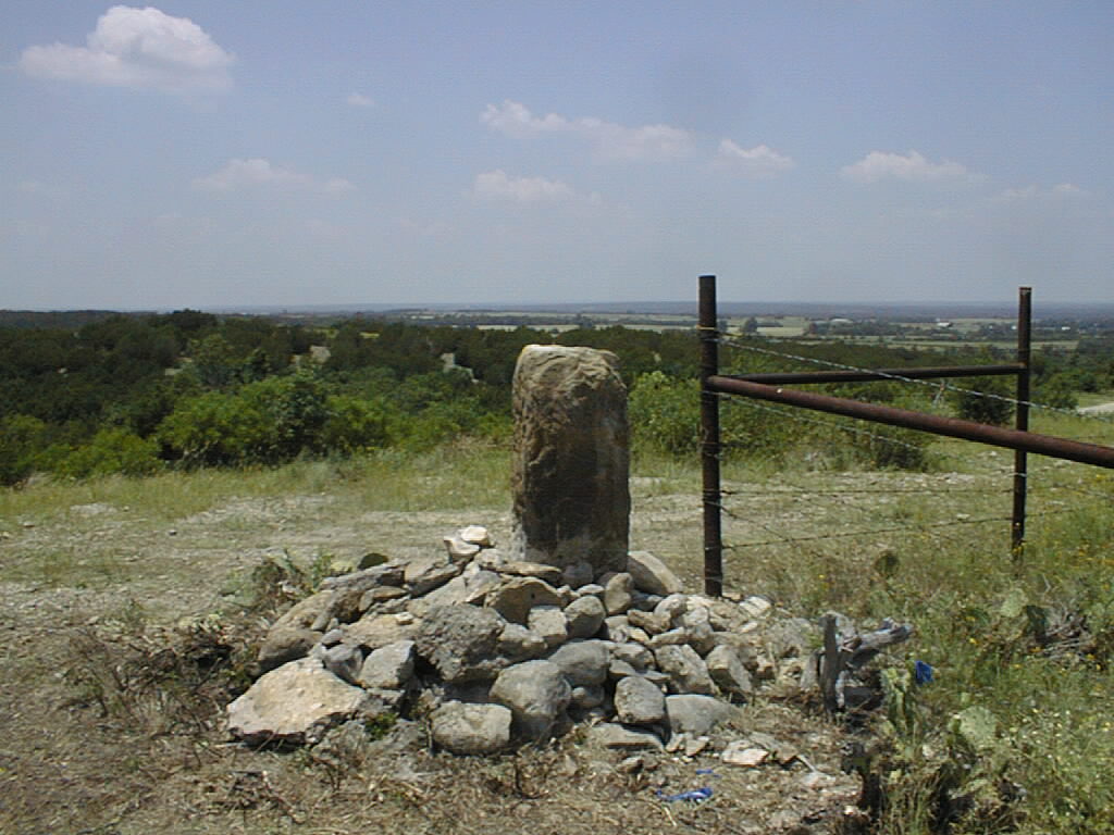
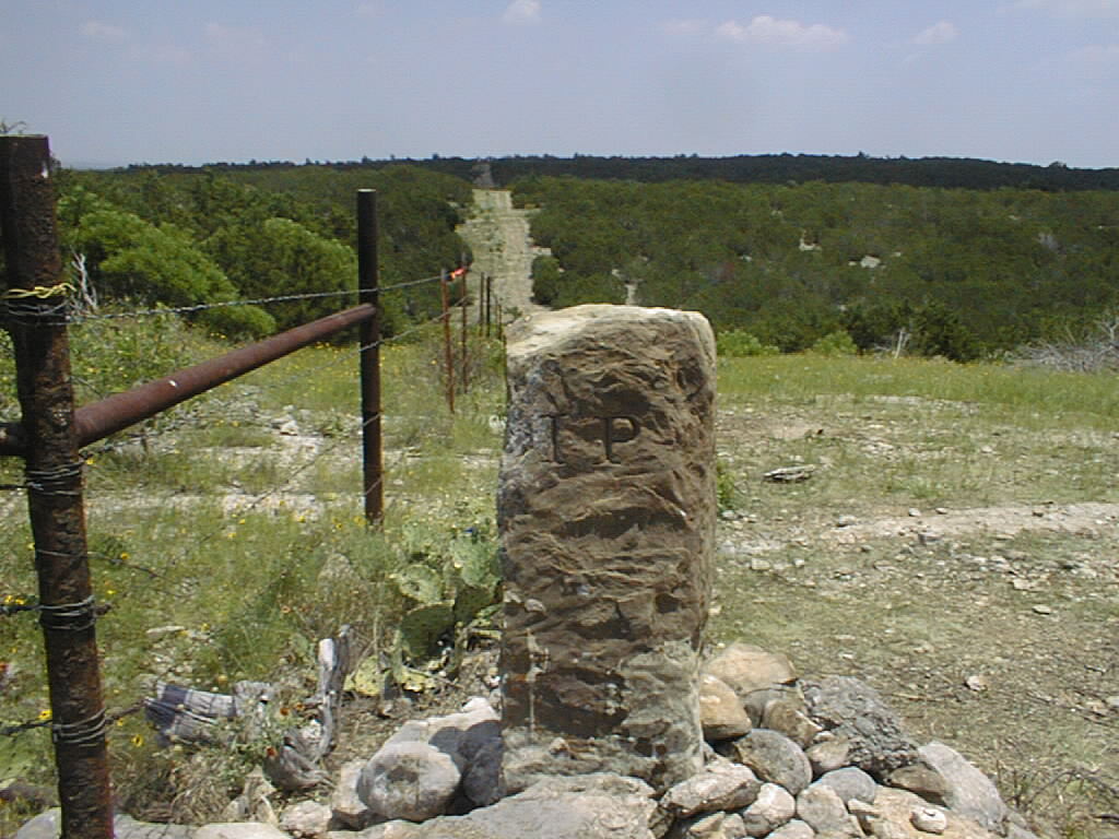
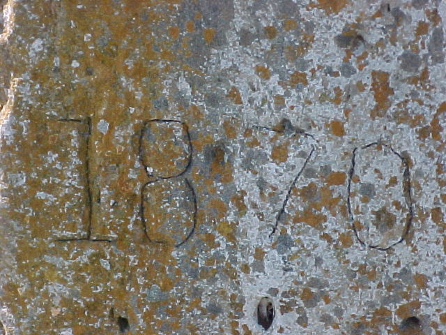
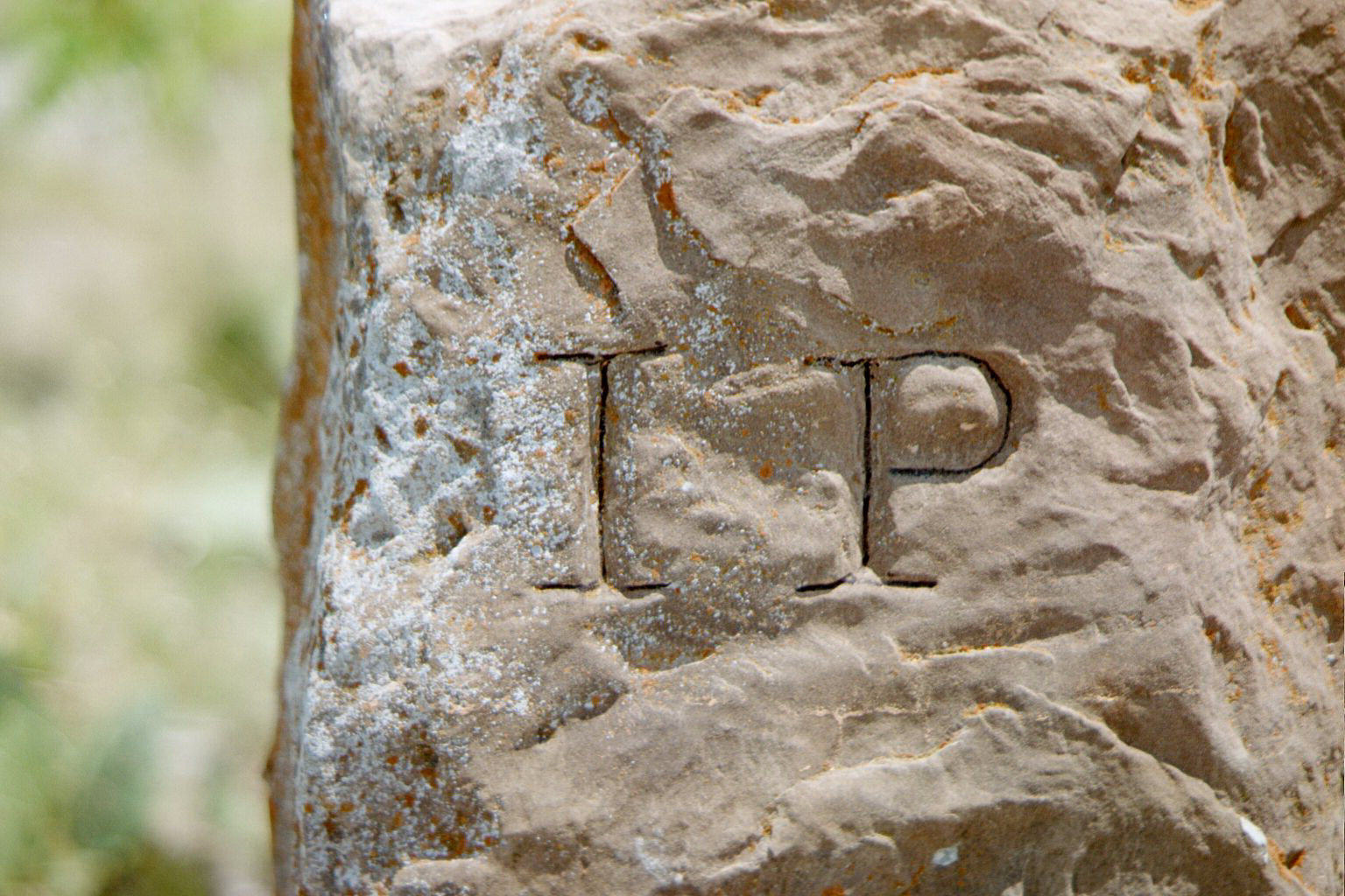
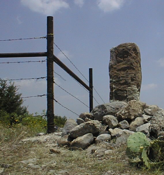
Image Credit: National Register Properties in Oklahoma
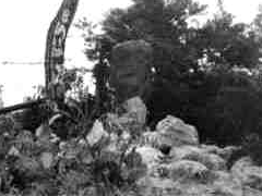
Image Credit: OKGenWeb.org

Links: