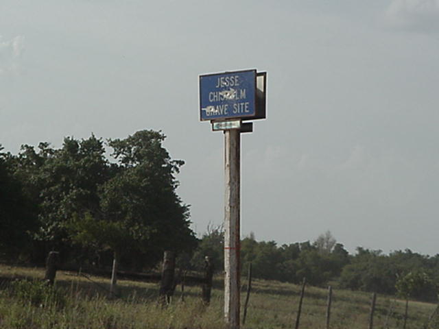
Jesse Chisholm Grave Site
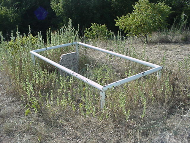
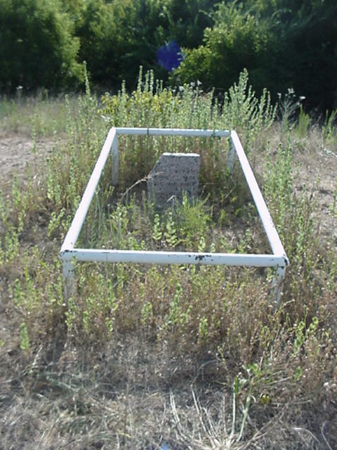
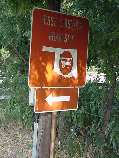
Jesse Chisholm Grave Site
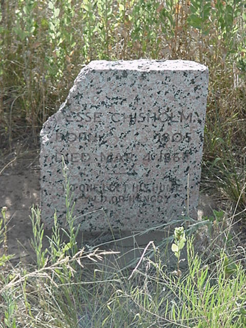
Jesse Chisholm
Born 1805
Died Mar. 4. 1868
No one left his home cold or hungry
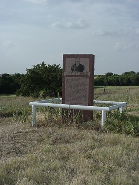
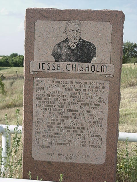
Jesse Chisholm Born in Tennessee in 1805 of Scottish and Cherokee descent, Jesse Chisholm came to Indian Territory in the 1820's for 40 years he operated trading posts near Asher, Purcell Watonga and Okla. City. Also a guide, freighter, interpreter, salt works owner and peacemaker. Few men in the territories were so well known by the Indian. Due to this part of his freighting route became know as the Chisholm trail. He died on March 4, 1868 after eating bear meat cooked in a copper kettle and was buried near Left Hand Spring Allotment of his old friend Chief Left Hand NE of present Geary the inscription on his grave. No one left his home cold or hungry, is a tribute to the character of this rugged individual. Oklahoma Historical Society 1976
Location
Directions
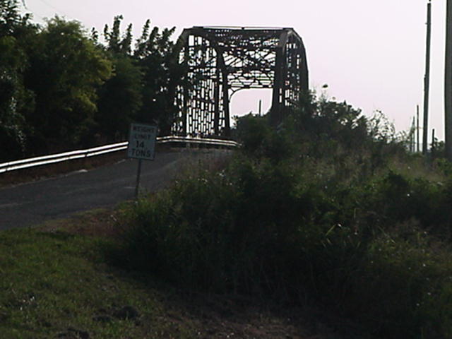
Geary,Ok go 4.4 miles North on 281 turn right cross railroad tracks, go straight for 4 miles go over bridge turn at red sign pointing the way is on the right, pointing the arrow to the left, turn left at the road , go 2 miles to blue sign turn left, go 1 mile curve to the right the marker is on the left. Grave site is down the hill to the west about 75 ft.
Regions
Maps
- 35.726233, -98.290770
- OpenStreetMap
- Google Maps
- Bing Maps
- Apple Maps
- MapQuest

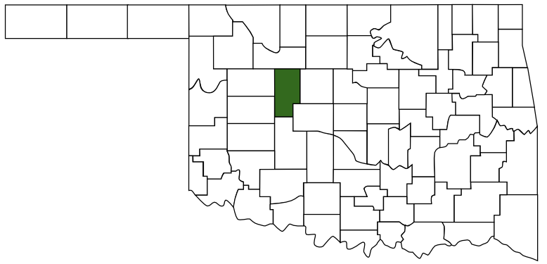 Blaine County
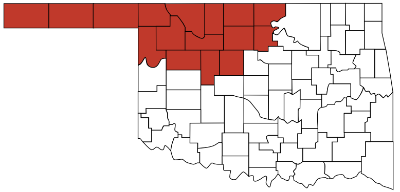 Red Carpet Country
 Oklahoma