Saline Courthouse
Saline Courthouse
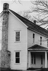
The Saline District Courthouse is the last remaining of nine courthouses for the districts of the Cherokee Nation in Indian Territory. The current structure was built in 1884. The site sits on 14 acres where three fresh water springs meet. It was recently designated as The Saline National Park, the first Cherokee national park. Preservation efforts are currently underway and a Master Plan adopted for the site. More information can be found on www.salinecourthouse.org.
Location
Directions
The Saline Courthouse is located approx. 8 miles east of Locust Grove, Oklahoma on Hwy 33/Scenic 412, to the Mayes/Delaware County line -- County Road 449. Go south less than 1 mile, the courthouse is on the east side of the road. When taking the Cherokee Turnpike, exit at the Rose/Leach exit and go toward Rose. Follow road (hwy 33/Scenic 412) to Mayes/Delaware County Line (County Road 449).
Regions
Maps
- 36.208018, -95.009808
- OpenStreetMap
- Google Maps
- Bing Maps
- Apple Maps
- MapQuest
Pictures
Notes
Preservation Efforts:
Preservation efforts are underway on the historic Saline District Courthouse. The courthouse, located east of Rose, OK, is the last remaining rural courthouse owned by the Cherokee Nation in the 1800's.Listed with the National Register of Historical Places:
Plans for the site include the restoration of the springhouse, courthouse, fencing for the Teehee Cemetery and property, nature trails with native plantings and historical markers, and an interpretative center.
Saline Courthouse (added 1976 - Building - #76001561)Links:
1 mi. SE of Rose off OK 33, Rose
Historic Significance: Event
Area of Significance: Law, Politics/Government
Period of Significance: 1875-1899
Owner: State
Historic Function: Government
Historic Sub-function: Courthouse
Current Function: Government
Current Sub-function: Courthouse
Submitted by Lisa Melchior


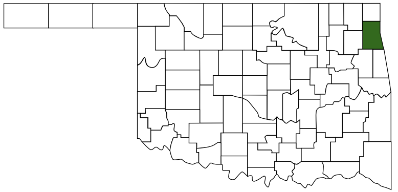
 Delaware County
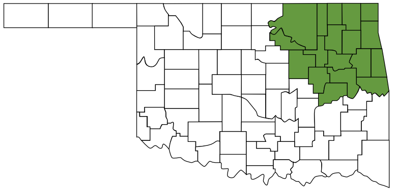
 Green Country
 Oklahoma