
Wyandotte Tribe
Wyandotte Tribe
The Wyandots moved from Kansas to the north side of the Seneca Reservation in Indian Territory in the 1850s but did not control their own affairs until passage of the Oklahoma Indian Welfare Act of 1936.
Location
Directions
On OK-137 in Twin Bridges State Park, .2 mile north of US-60 *
Regions
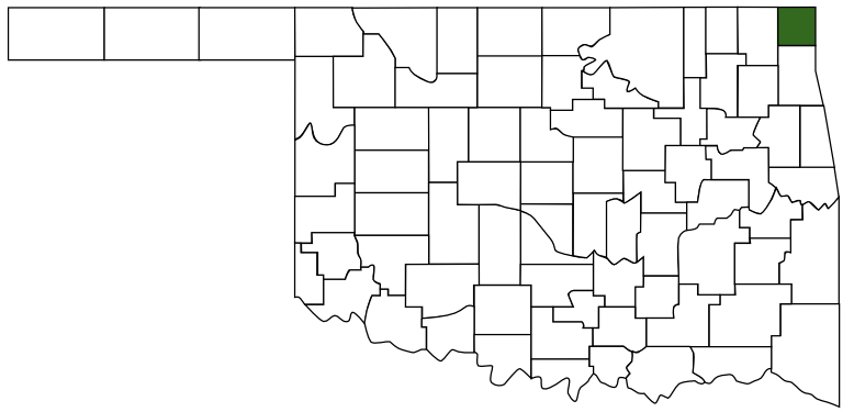 Ottawa County
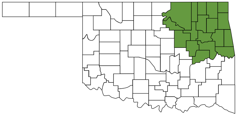 Green Country
 Oklahoma
Maps
- 36.801160, -94.754694
- OpenStreetMap
- Google Maps
- Bing Maps
- Apple Maps
- MapQuest
Pictures
Notes
* Information from Oklahoma Historical Society