Steen's Buttes
Location
Directions
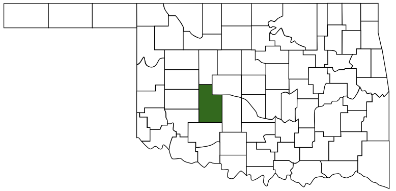
Location of Marker: On U.S. Highway 66, west of the junction with U.S. Highway 281, Caddo county
Regions
Maps
- No GPS Location Mapped
Pictures
Notes
From Chronicles of Oklahoma Vol 38 Page 210 (1960)
http://digital.library.okstate.edu/Chronicles/v038/v038p202.pdf
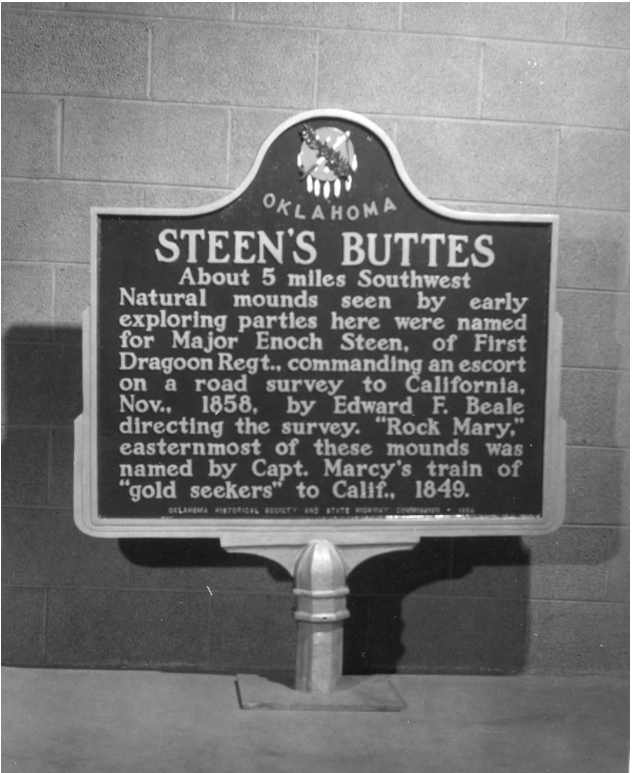
STEEN'S BUTTES: About 5 miles Southwest. Natural Mounds seen by early exploring parties here were named for Major Enoch
Steen, of First Uragoon Hegt,, commanding an escort on road sur- vey to California, Xov., 1858, by Edward F. Beale directing the
survey. "Rock Mary," easternmost of these mounds was named by
Capt. Marcy's train of "gold seekers" to Calif., 1849.
Location of marker: On new U. S. Highway 66, at best turn-off
going south (or as near as possible to location of or at junction of
U. S. 66 with State Highway 8 to Hinton, Caddo County.
( Special Fund, Committee on Historical Sites, Oklahoma Historical
Satiety.)
Links:
Fort Tours: Steen's Buttes

 Caddo County
 Great Plains Country
 Oklahoma