First Military Road
First Military Road
Constructed by Captain John Stuart, of the Seventh Infantry, in 1832, the road ran between Fort Smith, Arkansas and Fort Towson in the Choctaw Nation. The route was originally marked by Robert Bean and Jesse Chisholm and served to unite the new frontier posts that were established with the removal of the Five Civilized Tribes to present-day Oklahoma. *
Location
Directions
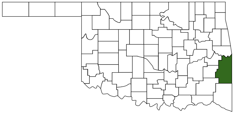
Hwy-63 & Hwy-1 East 8 mi. Talihina, Oklahoma. / On U.S. Highway 271 on Winding Stair Mountain, about eight miles northeast of Talihina, LeFlore County. *
Regions
Maps
- 34.796502, -94.954850
- OpenStreetMap
- Google Maps
- Bing Maps
- Apple Maps
- MapQuest
Pictures

Notes
* Text and directions from Mark of Heritage, by Muriel H. Wright, via forttours.com
National Registry of Historic Places
Old Military Road ** (added 1976 - Site - #76002155)
7 mi. NE of Talihina in Ouachita National Forest, Talihina
National Registry of Historic Places
Old Military Road ** (added 1976 - Site - #76002155)
7 mi. NE of Talihina in Ouachita National Forest, Talihina
- Historic Significance: Event
- Area of Significance: Engineering, Military, Transportation, Politics/Government, Industry, Commerce
- Period of Significance: 1825-1849
- Owner: Federal
- Historic Function: Transportation
- Historic Sub-function: Road-Related
- Current Function: Landscape
- Current Sub-function: Park

 LeFlore County
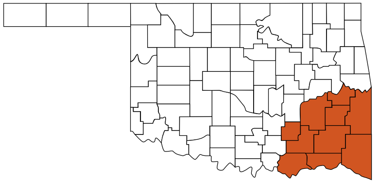
 Choctaw Country
 Oklahoma