
Charleston
Charleston
The east-west section line one mile south of this marker was formerly Locust Street in Charleston, Okla. The first post office was established June 18, 1901. Approximately one and one half mile south and one half mile west of here near the center of section 10. It was named after Charels J. Eilerts on who's homestead it was located and who was the first postmaster and merchant in the area. The Charleston school district was organized March 27, 1902, and the first school was taught in a tent approximately two miles west of here by Edna B Coffey.
Travel from this area to the nearest railroad tool all day with a team and wagon loaded with wheat or livestock for the market. Community roads where little more than traces in the crass and visiting between neighbors accordingly was limited. A trip to town on Saturday was a social event as well as a shopping core. However the wagons that brought homesteaders into the territory carried musical instruments and books as well as plows. So that social progress was rapid. Before statehood in 1907 the community came to enjoy civic opportunities afforded by a lodge room, a race track, and a brass band.
(continued on back)
In 1908 Charles J. and Edna B. (Coffey) Eilerts surveyed 26 acres of the northwest corner of their homestead into six blocks and lots with seven streets. The town included the post office and subsequently the school was moved to the new location bordering on the section line (Locust Street) where lots could be obtained for homes and businesses. In its most active period Charleston had a doctor and a Justice of the Peace, two churches, a school, a post office and two rural mail routes, there were two general stores, a blacksmith shop and a livery stable. The principal commerce was with farmers and ranchers who raised wheat, broom corn, hogs, and cattle. The population of 100 persons was exceeded considerably on Sunday by community church attendance and on weekends by the visits of those interested in baseball or the program of the school or literary society. Despite this progress, the population declined after 1920, when the Santa Fe Railroad bypassed the town to the south. The post office was moved to Selman, but kept the name Charleston until 1923. The school house continued in use until 1933.
Location
Directions
On HWY 64 and N2010 Rd., On south side of road on east side of N2010 Rd intersection, approximately 11 miles east of Buffalo, Oklahoma.
Regions
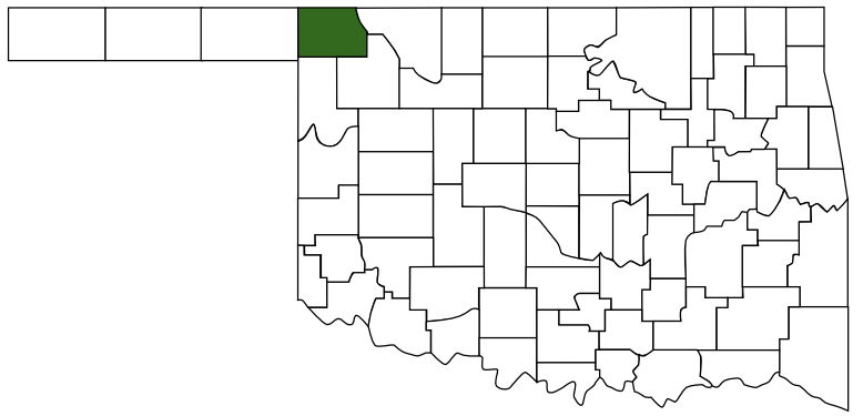 Harper County
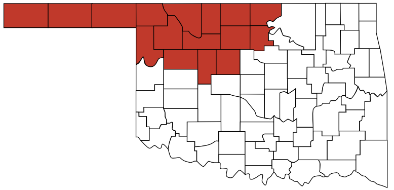 Red Carpet Country
 Oklahoma
Maps
- 36.855812, -99.438697
- OpenStreetMap
- Google Maps
- Bing Maps
- Apple Maps
- MapQuest
Pictures