Britton School/Science Hill
Britton School/Science Hill
Britton School/Science Hill
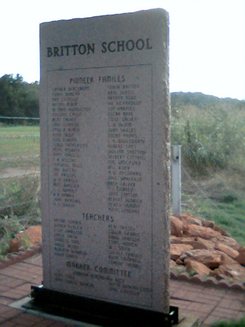
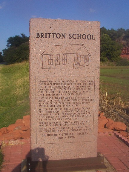
Established in 1911 and known as
Science Hill. The school house was
located one half mile east of this
memorial. Later the name was
chaged to Britton School in honor of
the pioneer family, the church located
at the same site served as a Grade
School.
First school enumeration done in June 1912 reported 18 families in the district designated as #108 of the Gracemont School System. Oscar E Bare was School Clerk.
Britton one of the oldest schools in this area when it was closed in1950. Had 24 families all were farmers except for 1 oil field worker, 1 mechanic and 1 day laborer; J.E. Mashaney was School Clerk.
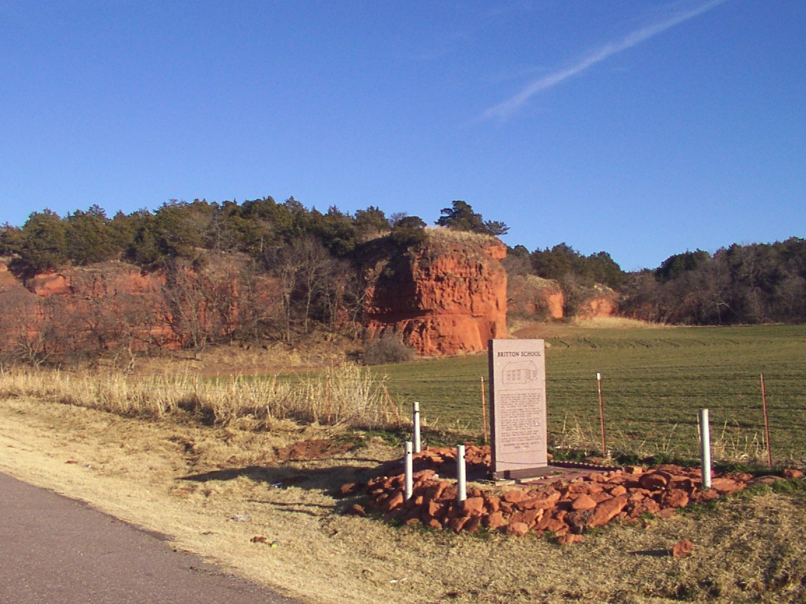
Marker is located directly under Indian Head Rock, Home of Caddo Indian Tribe.
Former Residents and Friends gather each September for a School Community Reunion.
Oklahoma Historical Society 0000 ~ 1996
Location
Directions
Binger, OK: Junction 152 and 281/8 go east for 6.3 miles marker is on right side of road.
Or
Anadarko, Ok: Junction 62/9 and 281/8 go north on 281/8 for 17.1 miles to Junction 152 and 281/8 turn left on 152 go 1.6 miles marker is on the right side of road.
Or
Anadarko, Ok: Junction 62/9 and 281/8 go north on 281/8 for 17.1 miles to Junction 152 and 281/8 turn left on 152 go 1.6 miles marker is on the right side of road.
Regions
Maps
- 35.306197, -98.244459
- OpenStreetMap
- Google Maps
- Bing Maps
- Apple Maps
- MapQuest

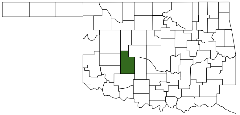 Caddo County
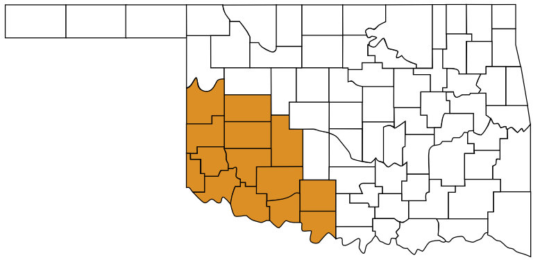 Great Plains Country
 Oklahoma