
Abert Expedition
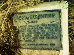
Abert Expedition
At this location on October 1, 1845, a military expedition to the Rocky Mountains under the command of James William Abert paused on its return journey to sketch the buttes appearing to the south. This was the first expedition to make the overland trip with a train of wagons from Bent's Fort, in present-day Colorado, down the Canadian River to Fort Gibson.
Location
Directions
One and one-half miles northwest, then one mile north and seven miles west of the Canadian River bridge on former U.S. Highway 66, Blaine County. **
Regions
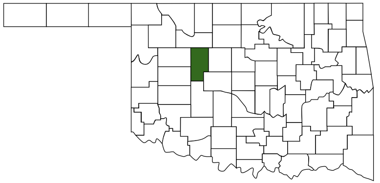 Blaine County
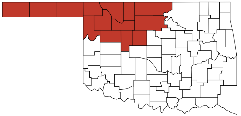 Red Carpet Country
 Oklahoma
Maps
- No GPS Location Mapped
Pictures
Notes
** Directions from Mark of Heritage, by Muriel H. Wright
NOTE: The Oklahoma Historical Society had it miss labeled as "Albert" instead of "Abert".
More Pictures:
BlogOklahoma.us Links: Links:
NOTE: The Oklahoma Historical Society had it miss labeled as "Albert" instead of "Abert".
More Pictures:
 The marker still missing, but a 10 year old picture for the marker was provided to us via our Facebook page."The Abert marker was located on the northwest corner of our property. It consisted of a plaque attached to a cement block placed on the ground. Several years ago it was damaged by a "brush hog" which was mowing the right of way. I have a picture of the marker partially buried in the ground. I was out at the property last week and someone has taken the plaque marker from the cement block."Thanks for the information Tom.
BlogOklahoma.us Links: Links: